None of these places are in your current map extent.
Zoom out to see places.
+

-

None of these places are in your current map extent.
Zoom out to see places.
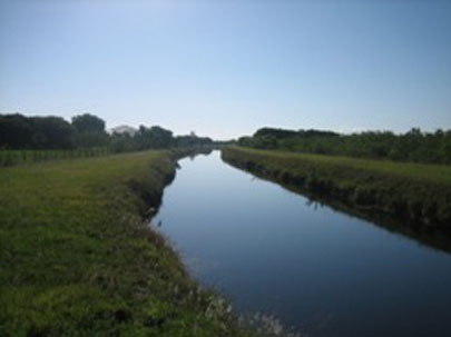
Miami-Dade County Parks Recreation and Open Spaces (MDC-PROS) collaborated with The Trust for Public Land (TPL) to determine strategies for realizing the Western Greenway vision – a key element of the county’s 2008 Parks and Open Space Master Plan. The results of that partnership can be found here as an interactive web tool that brings the Greenway to life with many opportunities for users, neighborhood organizations and communities along the way to make connections to the project.
This website combines maps, text and photos to share information about the Western Greenway Initiative in a way that provides an online tour of the region. It highlights opportunities for greenway connections around gateway communities and potential destinations, as well as scenic and recreational areas, and provides an introduction to this conservation and recreation opportunity. To use this site:
Your ideas can help the County to increase the network of supporters for the project and help develop the project to be responsive and useful in all the communities and neighborhoods through which it will pass.